Meiji-jingumae Station
2 services stop at Meiji-jingumae Station. Counting services on the same tracks once, it is a transfer station for 2 lines.
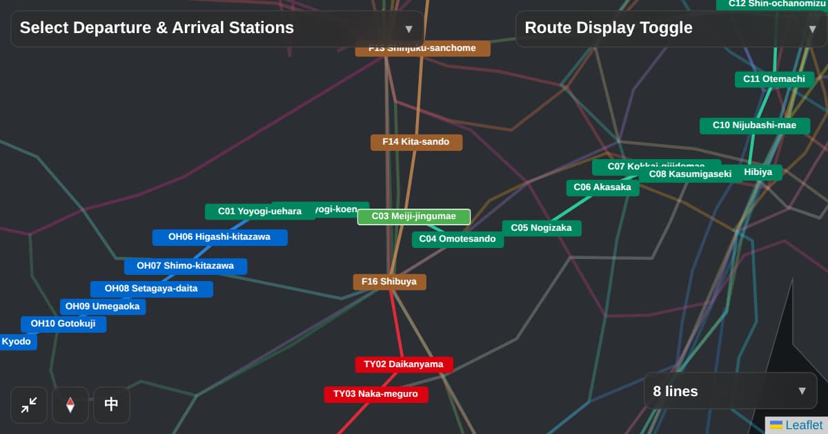
Lines at this station
Neighboring stations
| Line | Previous | Next |
|---|---|---|
| C03Chiyoda Line | Yoyogi-koen | Omotesando |
| F15Fukutoshin Line | Kita-sando | Shibuya |
Nearby sights
One of the nearest stations to Meiji Jingu Shrine.
Around the station
Values are counted from public data and OpenStreetMap. Estimated values are not shown.
| Item | Value | Area / period |
|---|---|---|
| Restaurant count | 131 | within 500 m of station exits, collected June 2026 |
| Cafe count | 100 | within 500 m of station exits, collected June 2026 |
| Conv. store count | 14 | within 500 m of station exits, collected June 2026 |
| Supermarket count | 0 | within 500 m of station exits, collected June 2026 |
| Hospital count | 4 | within 500 m of station exits, collected June 2026 |
| Park area | 6,696 m² | within 500 m of station exits, collected June 2026 |
| Crime count | 81 /yr | 2023 |
| Bar/izakaya count | 5 | within 500 m of station exits, collected June 2026 |
| Ramen shop count | 6 | within 500 m of station exits, collected June 2026 |
| Bookstore count | 1 | within 500 m of station exits, collected June 2026 |
| Green ratio | 0.9 % | within 500 m of station exits, collected June 2026 |
| Coworking count | 0 | within 500 m of station exits, collected June 2026 |
Sources: OpenStreetMap / Overpass API (retrieved 2026-06-10) / Tokyo Metropolitan Police Department, reported crimes by town block, 2023 (retrieved 2026-06-11) / OpenStreetMap / Overpass API (maps.mail.ru mirror) (retrieved 2026-06-11) / OpenStreetMap (derived from park area) (retrieved 2026-06-11)